

 English


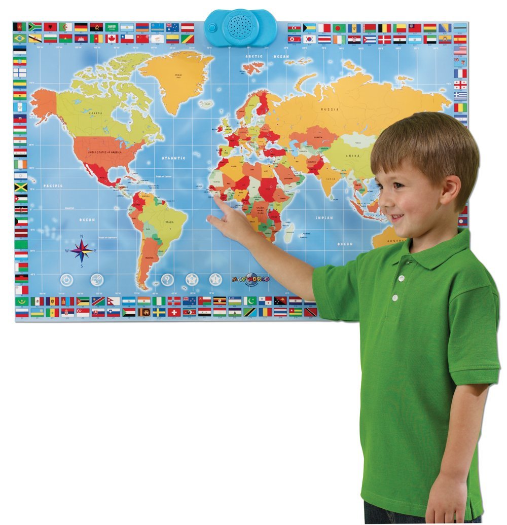
An interactive talking map was developed for the school and preschool education system
Comments 0
Please register to comment!


News
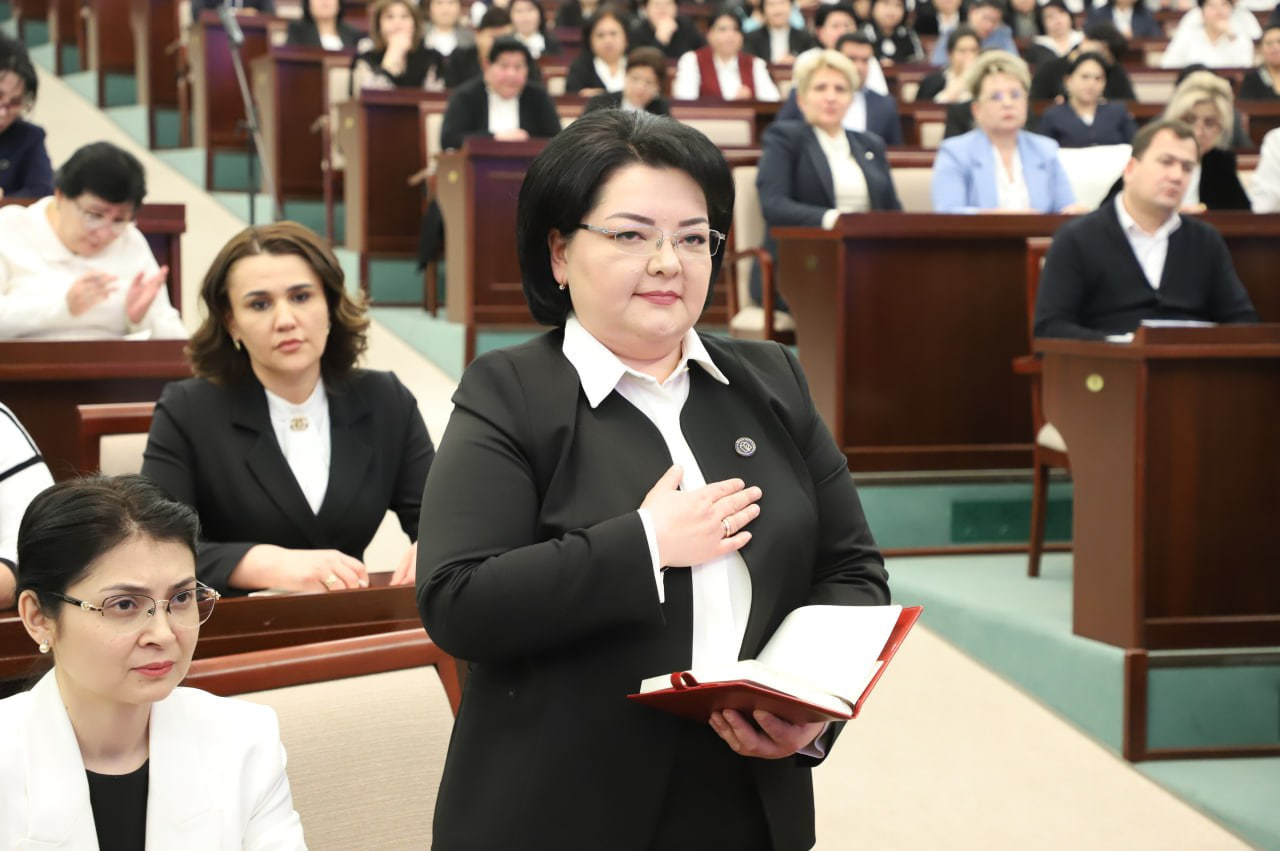
Toshkent shahar MMTB boshlig‘i vazirlikka ishga o‘tdi
3 yil avval noqonuniy ishdan bo‘shatilgan Maktabgacha va maktab ta’limi vazirligi xodimi qayta ishga tiklandi
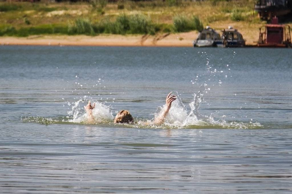
Two minors drowned in Fergana
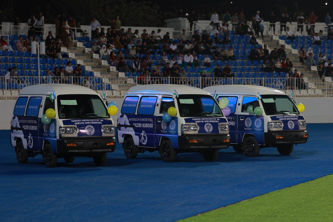
"Damas" and cash prizes were awarded to the student teams of 3 schools.
News on the topic
 News
News
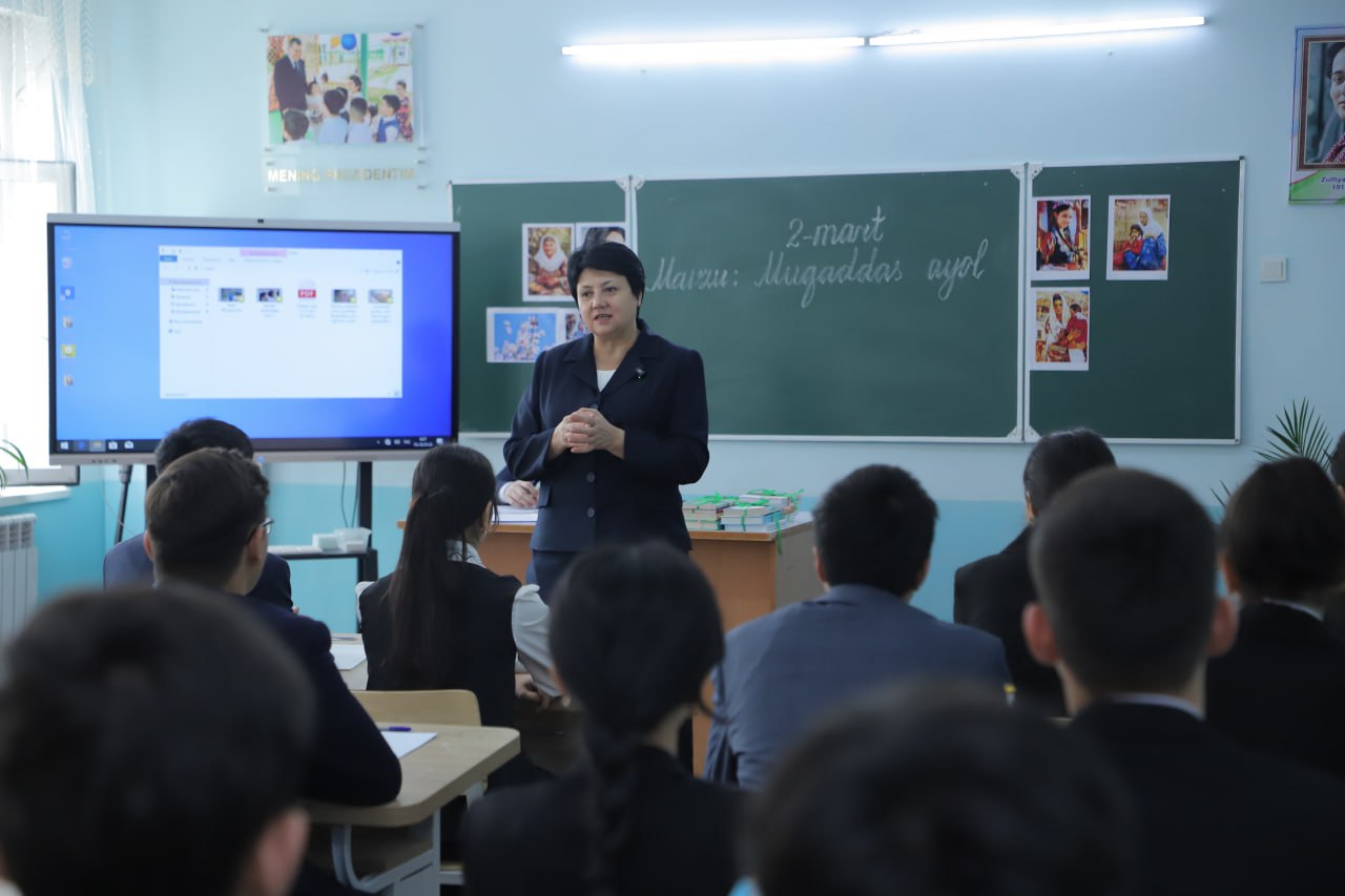
Vazir E’zoza Karimova maktabda dars o‘tdi
E’zoza Karimova Namangan viloyati, Davlatobod tumanidagi 48-maktabda tashkil qilingan “Kelajak soati” doirasida “Muqaddas ayol” mavzusida dars o‘tdi.
 News
News
Yangi “ta’lim kuratori” Ilxom Siradjev ilk bor jamoatchilikka ko‘rinish berdi
O‘zbekiston Respublikasi Prezidenti Administratsiyasi rahbarining ta’limni isloh qilish bo‘yicha o‘rinbosari lavozimiga tayinlanganiga 10 kun bo‘lgan Ilxom Siradjev ilk bor jamoatchilikka ko‘rinish berdi.
 Education policy
2026-yil uchun Maktabgacha va maktab ta’limi vazirligiga qanday vazifalar belgilab berildi?
O‘zbekiston Respublikasi Prezidentining “Mahallani rivojlantirish va jamiyatni yuksaltirish” yilida ustuvor yo‘nalishlar bo‘yicha islohotlar dasturlari va “O‘zbekiston - 2030” strategiyasini amalga oshirish bo‘yicha davlat dasturi to‘g‘risida”gi Farmoni qabul qilindi.
 Education policy
O‘zbekiston 12 yillik ta’limga qachon va qanday o‘tmoqchi?
O‘zbekistonda 12 yillik ta’lim tizimiga o‘tish masalasi ayni vaqtda jamoatchilikning e’tibor markazida turibdi. Dastlab bu mavzu turli mish-mishlar va asossiz xabarlar fonida tilga olingan bo‘lsa, bugungi kunga kelib u ta’lim siyosatining aniq yo‘nalishlaridan biri sifatida ko‘rsatilyapti.
Edit your comment